japanese
Research of water traces
-
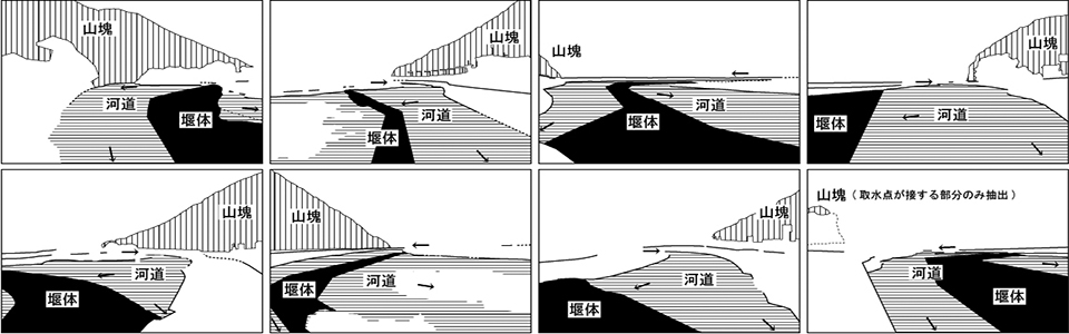
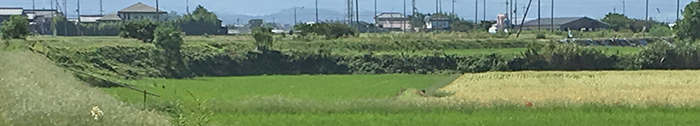
The above photo shows that the shore of the lagoon, which has been turned into land by reclamation, remains as a cliff line. Water traces are spatial elements that indicate that water areas have been changed into land areas owing to past developments.
Many water traces are likely to be distributed in the six cities along the coast of Lake Biwa, which is the largest freshwater lake in Japan. This is because water areas, such as lakes, lagoons, ponds, creeks, and rivers, have been transformed into residential, industrial, commercial, and agricultural land via rapid developments in the modern era.
Joint research: Shuichi Murakami, Shinichi Todoroki
This work was supported by JSPS KAKENHI Grant Number JP17K08184.
- List of water traces
Lagoon
site1 site2 site3 site4 site5 site6 site7 site8
Shoreline
site1 site2
Stream
site1 site2 site3
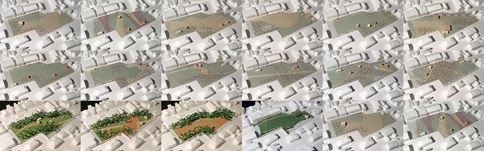
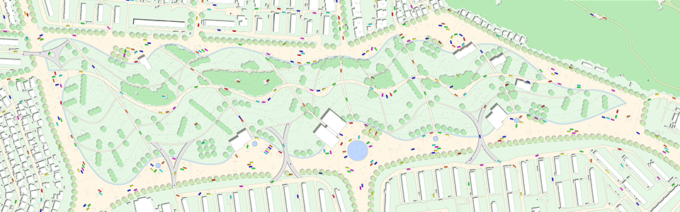
- The ideas studied to use and to pass on some of the recorded spatial elements, and the possibilities for water traces
100 suggestions for making the most of traces of water →
Do reclaimed lands dream of re-emerging lagoons? →
Lagoon 2050: drawing the future of the water trace →
Designing Water Trace: memories of water areas revive →
- more information
Murakami, S., Todoroki, S. (2018) Water traces in the coastal zone of Lake Biwa: toward reconfiguring cities with latent natural systems, IFLA World Congress 2018 e-Proceedings, P.106-115
Murakami, S., Todoroki, S. (2018) Physical situations at the places where lagoons had once existed: A Case study about the coastal regions of the Biwa Lake:Reports of the City Planning Institute of Japan, No.16:P.341-346